
ADINGHERDORP 1-2
![]()
![]()
![]()
![]()
![]()
![]()
![]()
![]()
![]()
![]()
![]()
![]()
![]()
![]()
![]()
![]()
![]() max 25 personen
max 25 personen
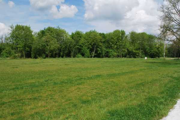
Adingherdorp was a village in North Holland on the Zuiderzee.
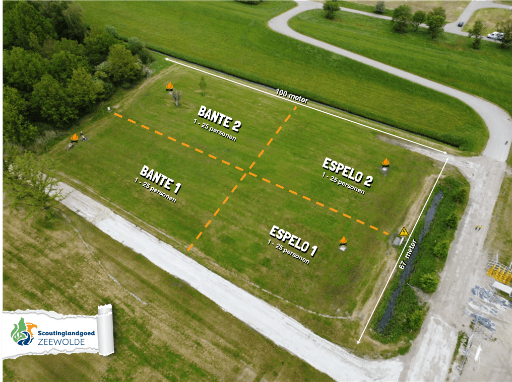
BANTE 1-2
![]()
![]()
![]()
![]()
![]()
![]()
![]()
![]()
![]()
![]()
![]()
![]()
![]()
![]()
![]()
![]()
![]() max 25 personen
max 25 personen
Bante was a place in the area where the IJsselmeer is now located. The place, like other places on the former island of Flevo, has now disappeared. It was probably near Lemmer and existed at least until 900 AD. It is not known when it disappeared.
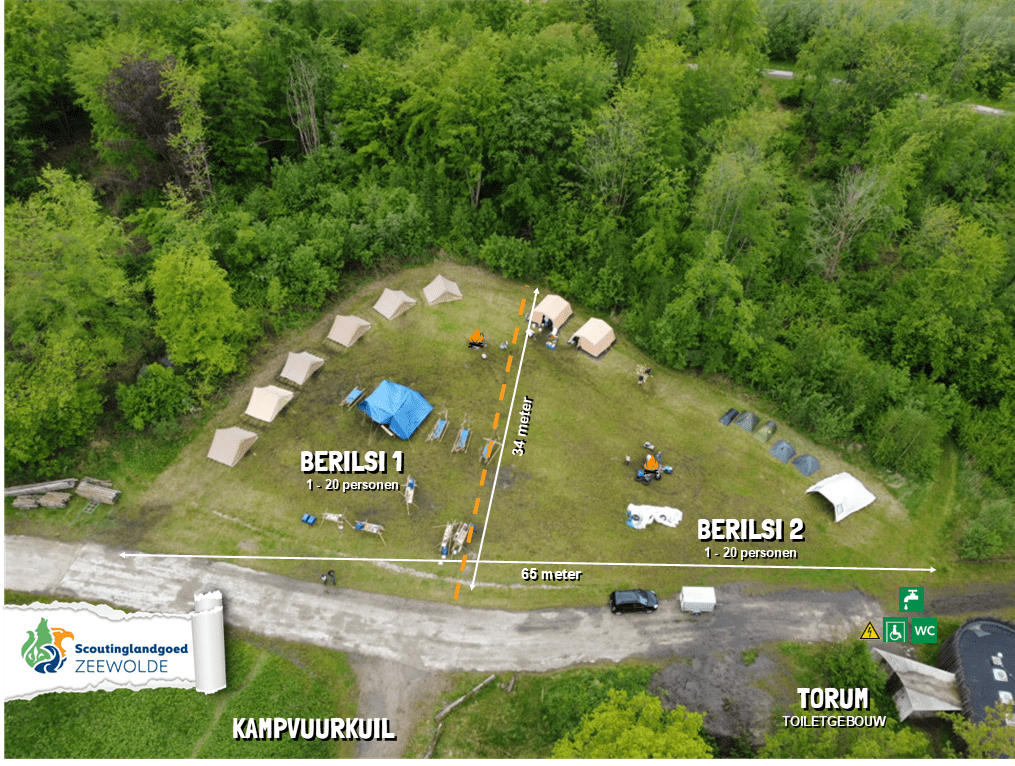
BERILSI 1-2
![]()
![]()
![]()
![]()
![]()
![]()
![]()
![]()
![]()
![]()
![]()
![]()
![]()
![]()
![]()
![]()
![]() max 20 personen
max 20 personen
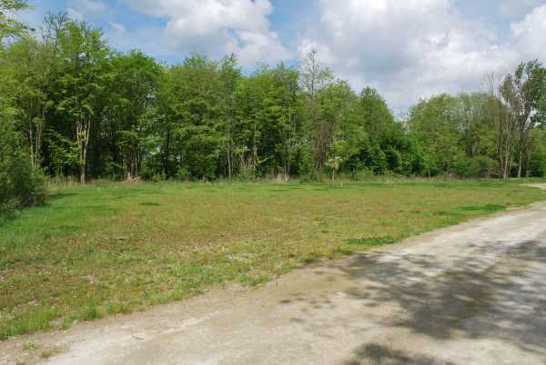
Berilsi was a village near Schokland.
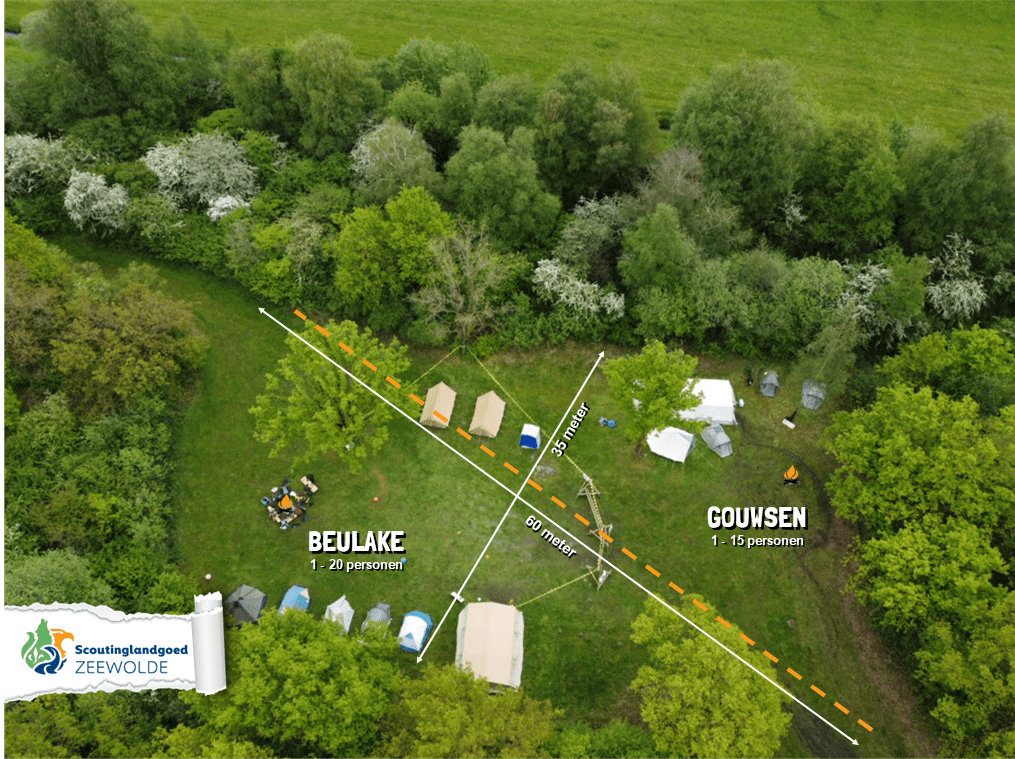
BEULAKE
![]()
![]()
![]()
![]()
![]()
![]()
![]()
![]()
![]()
![]()
![]()
![]()
![]()
![]()
![]()
![]() max 20 personen
max 20 personen
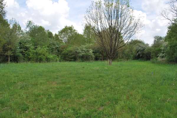
Beulake or Beulaeke was a village that existed from about 1360 to 1776 in the head of Overijssel, approximately northeast of Sint Jansklooster and northwest of Ronduite. The village was drowned, in what is now called the Beulakerwijde, by storm surges in 1775 and 1776.

ESPELO 1-2
![]()
![]()
![]()
![]()
![]()
![]()
![]()
![]()
![]()
![]()
![]()
![]()
![]()
![]()
![]()
![]()
![]() max 25 personen
max 25 personen
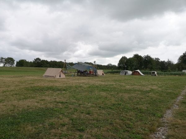
Espel is named after Espelo (also written as Espel or Espelbergh), which used to be located north of Urk. According to a book from 1317, Urk was 'in parochia dicta Espelo' at the time. The suffix -lo is usually interpreted as 'forest', but can also indicate low undergrowth or even a watercourse (and relatedly: a swampy area). These meanings are not even improbable here, because the aspen (from which espe- is derived) is a tree species that thrives on wet soil. This area was later swallowed up by the Zuiderzee.

GOUWSEN
![]()
![]()
![]()
![]()
![]()
![]()
![]()
![]()
![]()
![]()
![]()
![]()
![]()
![]()
![]()
![]() max 15 personen
max 15 personen
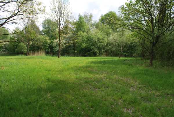
Gouwsen is a disappeared village that was located just north of Aartswoud, in what later became the Wieringermeerpolder. The village is also called Gawijzend, Gouwsend, Oude Gawijzende and Gonsende. Due to rising sea levels, more and more land had to be given up to the Zuiderzee. The old dike north of Gouwsen collapsed during the Sint-Clemens flood of 1334. The village, like nearby Heerenkoog and Almersdorp, was abandoned and disappeared completely under the water around 1350.
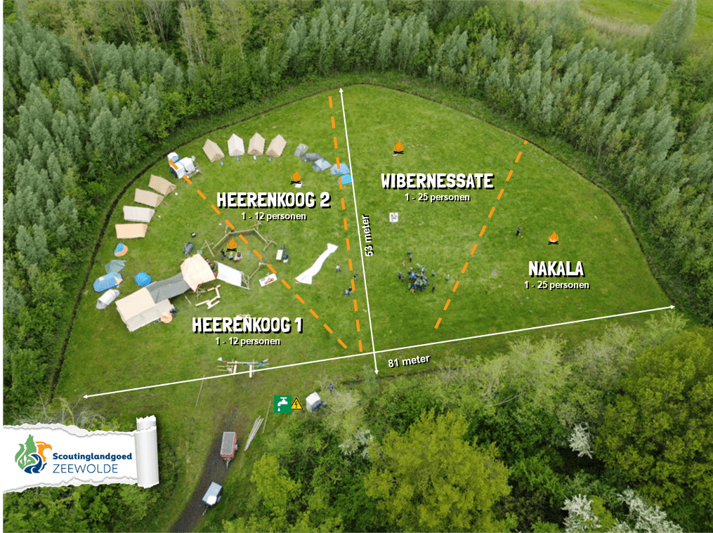
HEERENKOOG 1-2
![]()
![]()
![]()
![]()
![]()
![]()
![]()
![]()
![]()
![]()
![]()
![]()
![]()
![]()
![]()
![]()
![]() max 12 personen
max 12 personen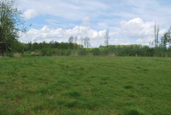
Heerenkoog is a disappeared village that was located just north of Aartswoud, in what later became the Wieringermeerpolder. Due to rising sea levels, more and more land had to be given up to the Zuiderzee. The old dike north of Heerenkoog failed during the Sint-Clemens flood of 1334. The village, like nearby Gouwsen and Almersdorp, was abandoned and disappeared completely under the water around 1350.

NAKALA
![]()
![]()
![]()
![]()
![]()
![]()
![]()
![]()
![]()
![]()
![]()
![]()
![]()
![]()
![]()
![]() max 25 personen
max 25 personen
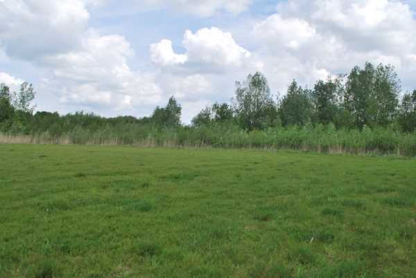
Nakala is another name for Nagele. Nagele was an island located between Urk and Schokland and was first mentioned in 1138. Before that, a body of water called Nagel already existed north of Urk. Nagele already appears in a charter issued by the German Emperor Otto I in the year 966. The Roman writer Tacitus wrote about this village as Nabalia in his book Histories. In the Middle Ages, the village of Nagele disappeared into the waves.
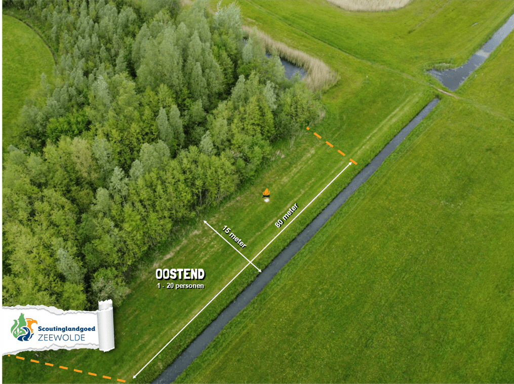
OOSTEND
![]()
![]()
![]()
![]()
![]()
![]()
![]()
![]()
![]()
![]()
![]()
![]()
![]()
![]()
![]()
![]() max 20 personen
max 20 personen
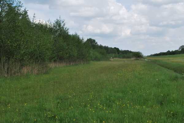
Oostend was a parish of Enkhuizen.

TOLLEBEEK 1-2
![]()
![]()
![]()
![]()
![]()
![]()
![]()
![]()
![]()
![]()
![]()
![]()
![]()
![]()
![]()
![]()
![]() max 25 personen
max 25 personen
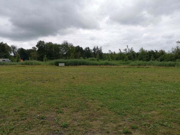
After the polder dried up in 1942, the village of Tollebeek was founded in 1957, as the last village in the Noordoostpolder. The name Tollebeek refers to an old estate of the Lords of Kuinre; "In 1364, Tollebeke was an estate next to the river Nagel, which belonged to the Lords of Kuinre..." This is the reason that all street names in Tollebeek refer to hunting. Tollebeek was designed by Dr. Ir. Nix, an architect from Rotterdam. The village is therefore also called the village of Nix (nothing). The village front faces the Urkervaart. Nix describes the village as "a lined settlement with green rooms".

WIBERNESSATE
![]()
![]()
![]()
![]()
![]()
![]()
![]()
![]()
![]()
![]()
![]()
![]()
![]()
![]()
![]()
![]()
![]() max 25 personen
max 25 personen
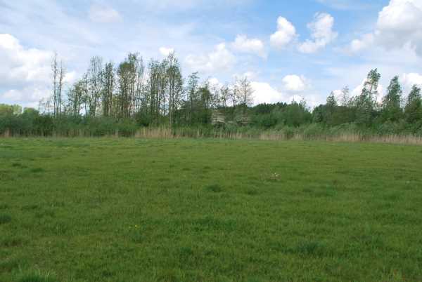
A charter from 1165 shows that the bishop allocated wasteland to colonists who had to pay a 'tins', a kind of land tax, for this. The names 'Rutheriksdole' and 'Wibernessate' appear in the document. Wibernessate may have been the village of Wiberburen north of Kuinre. This village disappeared due to floods in later centuries.
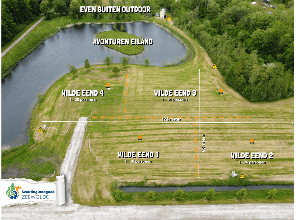
WILDE EEND 1, 2, 3, 4
![]()
![]()
![]()
![]()
![]()
![]()
![]()
![]()
![]()
![]()
![]()
![]()
![]()
![]()
![]()
![]()
![]() max 15 personen
max 15 personen
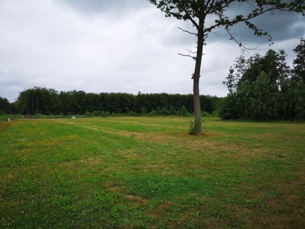
Wilde Eend (wild duck) actually falls under the event fields, but is sometimes used as an extra camping field when it is very busy.